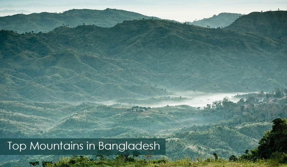
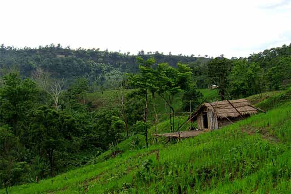
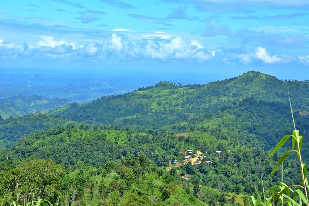
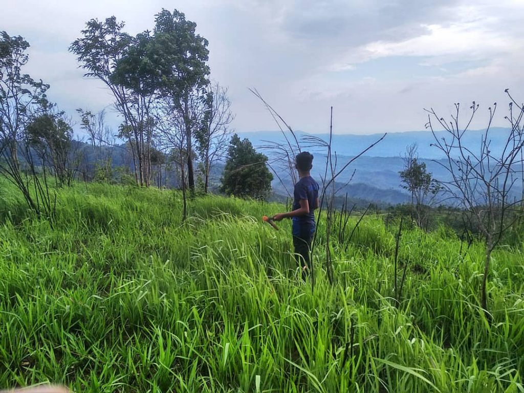
In Bangladesh, there are numerous mountains in the Chittagong Hill Tracts areas. We are blessed with a lot of beautiful mountains in the world. Our world is filled with amazing natural beauty. The mountains make the overall natural landscape outstanding. In this highly researched article, we have tried to give you an overall concept of the most beautiful peak in Bangladesh. It will help you to make the decision when you want to trek on isolated mountains with your friends and family. Similarly, if you love the mountains, there is no chance to miss any of the peaks.
Important to realize, that we have considered the scenery, mountain quality and tourist facilities to drive the list. If you are a passionate traveler and want to discover the beauty of the world-class highest mountains in Bangladesh, hopefully, this post will surely help you a lot. With this in mind, if you are waiting to take the taste of a virtual tour of the mountains and hilly areas of Bangladesh with Travel Mate, let’s start the journey. It will take only 2/3 minutes to complete.
Recommended: Top 15 Islands In Bangladesh, You Should Not Miss!
Top 10 Highest Mountains in Bangladesh:
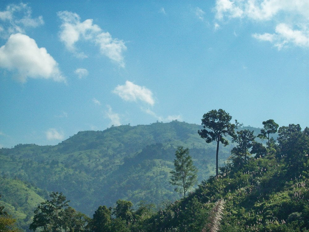
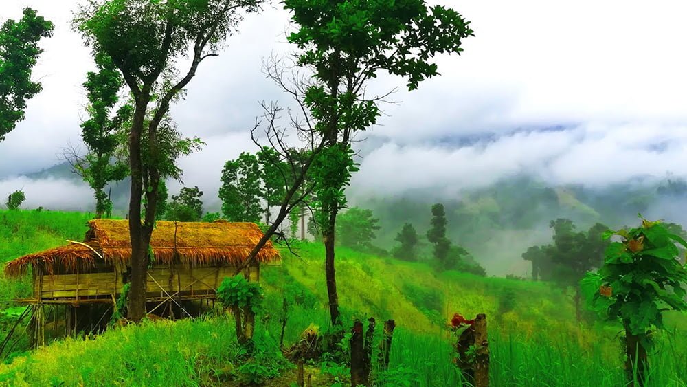
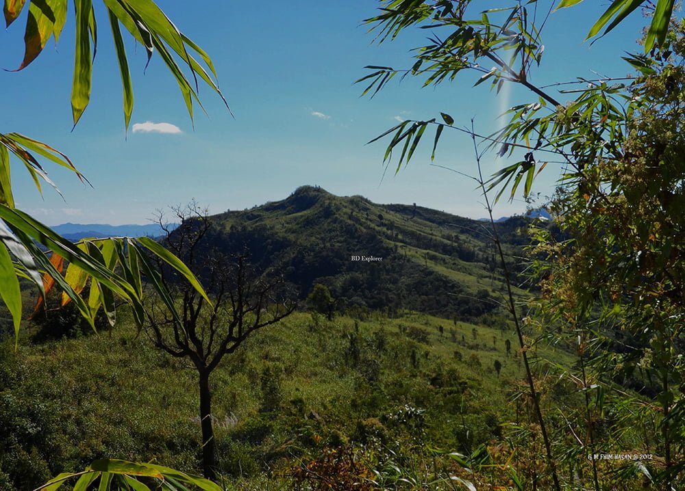
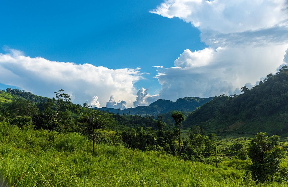
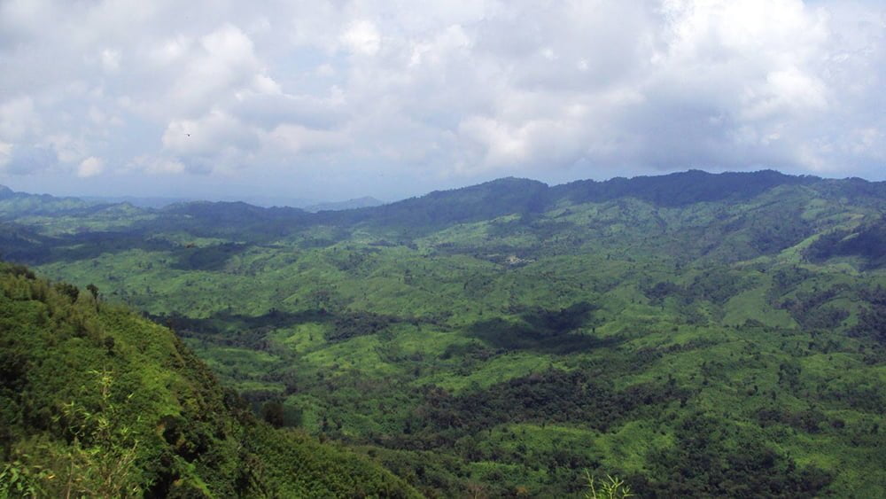
There are some beautiful mountains in Bangladesh that are very attractive in the Chittagong Hilly Areas. Let’s check out in detail about the mountains in Bangladesh as well as how you can go there.
10. Maithaijama Haphong
Maithai Jama Haphong is one of the highest peaks in Bangladesh, declared sixth according to the height. It is located in Bilaichori Rangamati in the south-eastern part of Chittagong Hilly areas alongside the Bangladesh-India border. The height of the peak, according to the Garmin GPS device, is 3,174 feet (967 meters). The geolocation of the Maithai Jama Haphong peak is N 22°00.714′ and E 92°35.863′. The name Maithai Jama Haphong comes from the local indigenous language, Tripura. In the Tripura language, it means “Haphong” means “hill”. From the top of Maithai Jama Haphong, it is really extraordinary.
Recommended: Top 15 Sea Beach In Bangladesh, You Should Not Miss!
9. Sippi Arsuang
Sippi Arsuang is one of the highest peaks in Bangladesh, with an estimated height of about 3034 feet, which is the 9th highest peak (Also known as the 10th highest peak) in Bangladesh. Sippi Arsuang Hill is located in the deepest part of Rowangchhari Upazila of Bandarban district in the Chittagong Hill Tracts. This hill, located in Rowangchhari, may be the ideal trek point for beginners. Comparatively, it takes less time. The trek can be finished just in three days.
It has different names in different tribal languages. The Bom nations say – Sippy, Tanchanga says – Rametang, Marma say – Ramatang, and Pangkhwa – Arsuyang which means cock crest. There are many names, including Ramjum. The three peaks that can be seen from the Sippi Para where the left side of the south is called Sippi. The middle one is Arsuang. The name of the right peak is Tangkhan Tang. Some even call the Southern peak Sippi Arsuang. But whatever the name, this hill is known to travelers by the name of Sippi Arsuyang.
From Sippi, you could see some local tribe Para, including Sankhamuni Para. At the British time, it is told there was a British Camp. The local people say, there are tigers and deer at the side of Sippi. Some of them have caught deer from the forestry area of Sippi. However, no one of them has not seen tigers yet.
- Read More About Prantik Lake Bandarban.
8. Kapital Peak
Kapital or Capital Mountain is located in Thaikeng para, Ruma, Bandarban. Though the peak is distinctive, it is very beautiful and eye-catching. If you visit this peak, it will be a remarkable day in your life. One of the separatist groups who was Mizoram, used this peak as a hideout place. They considered the peak of the mountain as their symbol of independence. At a time, they move from this area, although the local people call this peak Kapital. The height of the peak is measured as 3,094 feet. The Geo position of the Politai range peak is N 21°54’2.58″, E 92°31’26.68″. With the natural environment and forestry surroundings, Kapital Peak is awesome and attracts travelers.
7. Reng Tlang (Taung Prai)
Taung Prai is the most southwestern border mountain peak in Bangladesh at Rangamati district. The mountain is dome-shaped and is located in the Reng Tlang range. This beautiful mountain is very attractive, especially the top of the peak, which is mind-blowing. Generally, the mountain is familiar with the name of Reng Tlang. The name comes from the Marma language, which is referred to in the Bengali language as “Ulta Pahar”. The Geo position of the mountain is 21° 54.176’N 92° 37.611’E. The villagers of Kes Pai (Khumi) live at the side of the mountain, which is located Belaichori, Rangamati. The height of the mountain is approximately 2,959 feet (The GPS accuracy is 3m+/-).
6. Thingdawlte Tlang
Thingdawlte Tlang is an important and historic peak of Bangladesh. It is located at Ruma Bandarban and is considered the sixth-highest (Someone also tells Seventh) peak in Bangladesh. The parent range of this peak is under Lowmbok Row. The height of this peak is nearly 3,149 feet or 959.8 meters. In general, Thingdawlte Tlang is 8 kilometers which is nearly 5.0 miles. The easiest way to reach this peak is going by Ruma Bazar Bandarban. The nearest village to this mountain is Thingdawlte. With the name of this village, the mountain was named Thingdawlte Tlang.
- Coordinates: 21°54′37″N 92°35′22″E
- Read More About Kaptai Lake Rangamati.
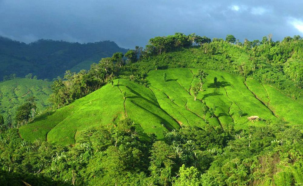
5. Keokradong
Keokradong is located in the Ruma Upazila of Bandarban. At about 3172 feet high, the mountain was once considered the highest peak in Bangladesh, but in modern ways, it is currently the fifth-highest mountain. The name Keokradong comes from the local indigenous language- Marma. In the Marma language, Keokradong means the highest stone hill. From a distance, the summit of Keokradang appears on the skyline. When you reach the summit, the correlation between the mountain and the cloud will attract you like heaven.
How To Visit Keokradong:
If you want to go to Keokradong from anywhere in the country, you have to come to Bandarban first. You will find the available Bus and train to reach Bandarban. Then you have to go to Bandarban to travel to Keokradong. Forgoing Keokradong, you have to go to Ruma Bazar first, then go to Boga Lake. From Boga Lake, you can go to Keokradong easily.
You will find cottages of indigenous people in Keokradong as well as Boga Lake. You can pass the night and will get a meal from them.
4. Jogi Haphong
Jogi Haphong is located exactly at the side of the Bandarban-Myanmar border. The mountain lovers love Jogi Haphong very much. Maybe the beauty and the difficult ways had made it. Important to realize Jogi Haphong is the 4th highest peak in Bangladesh. The height of Konduk or Jogi Haphong is 983 meters or 3222 feet.

The mountain is situated in a very remote place consisting of the Modak Range. The mountain, which is under the Modak Range, is the highest peak in Bangladesh. The mountain has divided Bangladesh and Myanmar very closely. For the mountaineers, it has popularity for its location and reputation.
- GPS Coordinates 21°42’13.0″N 92°36’5.38″E
From Bandarban, you have to go to Thanchi by Bus or Jeep first. Then, Thanchi to Remakri Bazaar by boat; from there, you will get the path to Dalyan Para for a walk of 3 hours. From Dalyan Para, you can come back within a day from Jogi Haphong Peak.
3. Dumlong
Dumlong is the third-highest mountain range in Bangladesh. Privately claimed it is the second-highest mountain in Bangladesh. However, according to the GPS reading, Zow Tlang or Modok Mual is the second-highest mountain. Dumlong is located in Bilaichhari Upazila of Rangamati district in the southeast of Bangladesh. The height of the mountain is 3314 feet. It is one of the highest mountains in Rangamati district and one of the three highest mountains which is up to 1000 meters high. By GPS Reading, Dumlong is 3315 ft.
According to Google Earth, it is the second-largest peak in the country. At one time, it was called Rangtlang. Local People now call the peak with Dumlong. Dumlong is mainly at the side of Zhiriba, a small hilly river, which is mixed with the Raikhan River a few kilometers north of the mountain.
- The coordinate of Dumlong’s location is 22.0414 ° N, 92.5839 ° E.
How to go
Although Dumlong is in Bilaichhari in Rangamati district, it isn’t easy to go to Bilachari because it takes a long time. On the other hand, from Ruma Bazar, it takes only one day. From Bandarban Ruma Bazar, go to Boga Lake. From there, one can go and return from Dumlong within a day. There are accommodation facilities at the side of Boga Lake.
- Let’s check about Tinap Saitar Bandarban.
2. Zow Tlang
For a long time, people have thought Modok Mual, Zow Tlang, Zlong, or Modak Muyal is the highest peak in the country. However, NASA satellite data shows that it is the second-largest peak in the country. According to some other satellite data, Dumlong is the second-largest and Zow Tlang is the third-largest peak in the country. However, almost all of the tourist groups get Zow Tlang as the second-largest peak in Bangladesh. Need to mention that Zow Tlang’s main feature is not its 8th, 2nd or 3rd, its difficult climbing path made it stand out from the other mountains. All travelers will feel free to say that climbing the slopes of Zow Tlang is the most difficult in our country.
- The height of Zow Tlang is 1014 meters or 3328 feet (According to the data of 13 April 2014)
- Coordinates of Zow Tlang Position: 21°40’23.78″N and 92°36’16.01″E
How to go
From Bandarban, you will get a Bus or Jeep to go to Thanchi. Then you have to go to Remakri Bazaar by boat from Thanchi. It is a 4-hour walk to Dalyan Para. Within a day, from Dalyan Para, you can climb and return from Modok Mual Mountains.
Where to stay
You will find accommodation facilities in the hills of Bandarban. You can take a tent if you want to camp.
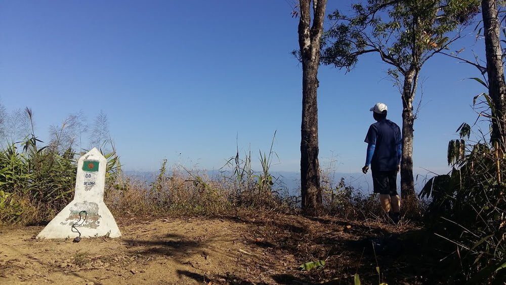
1. Saka Haphong
Saka Haphong is the highest peak in Bangladesh. It is located in the Bandarban district. Before 2005, it was thought that Keokradong or Tajingdong was the highest peak, but with digital measurement, now Saka Haphong is declared as the highest peak in Bangladesh. English climber Jing Fleen first climbed this peak in 2005. At that time, he measured the height of the peak, 1,064 meters (3,451 feet) and showed the position 21 ° 47’11 “U. 92 ° 36’36 “P. / 21.78639 ° N 92.61 ° P. The position is shown by him is exactly identical to its location on the geographical map of Russia. Now it is verified by Google Maps and Geographical Map of the USA.
In 2007, the first Bangladeshi team climbed this mountain. The team was led by Yahya Khan and Mount Everest climber Sajal Khaled joined with them. In 2011, two expatriate teams measured the height of Saka Haphong at 3,488 feet and 3,461 feet. Then, the highest peak was Keokradong (3,120 feet). Now, Saka Haphong is mentioned as the Everest of Bangladesh.
Some Other Highest Mountains In Bangladesh:
There are some other beautiful mountains in Bangladesh. Some of the peaks need to be mentioned. Let’s see.
11. Mukhra Thuthai Haphong

12. Kreikung Taun
13. Tinmukh or Tinmatha pillar peak
14. Tazing Dong
 15. Kris Taung
 15. Kris Taung
Want To Travel The Most Beautiful Mountains in Bangladesh With Your Family or In A Group:
If you are an adventurous lover and want to see the natural beauties, then the mountains of Bangladesh will be the best places for you. In the same way, if you want to make any group tour with your friends or family members, you can contact the Travel Mate team to make things more attractive and smooth for you. Never forget to share your opinion in the comment section. For further assistance regarding traveling to Bangladesh, contact us at any time. Happy Traveling.